Food deserts and food swamps
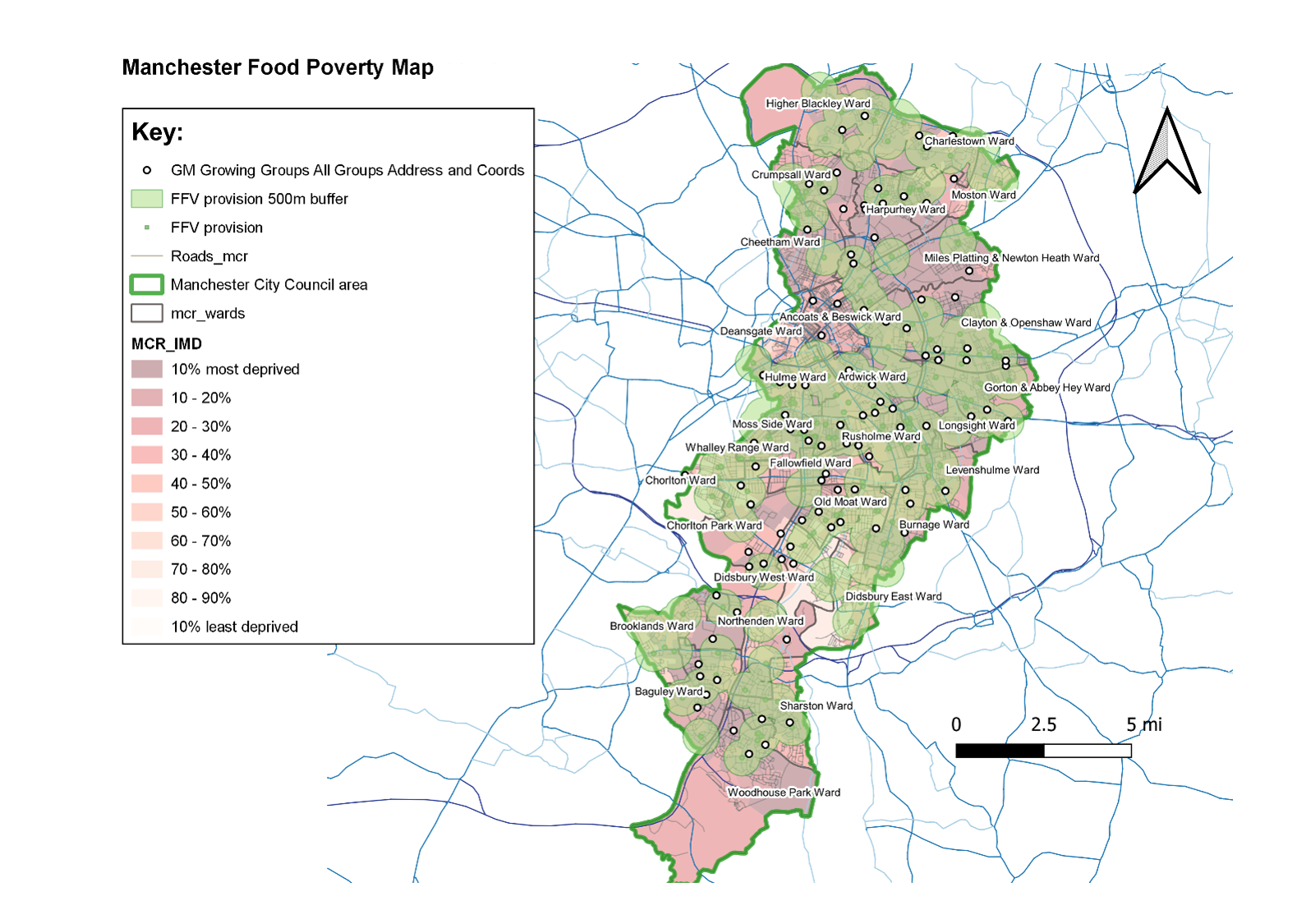
Sow the City have been commissioned by Manchester City Council to investigate food poverty across the city by mapping availability of fresh fruit and vegetable retailers in relation to Indices of Multiple Deprivation. We also spoke to retailers and community leaders to understand local factors.
Food poverty and poor diet can have severe health consequences, leading to poor physical health – heart disease, stokes, and type 2 diabetes, and can also impact mental health and development.
Our research will contribute to policy change and strategic intervention, providing recommendations of where and how to provide resources to tackle food poverty and inequality.
Access our interactive Manchester Food Poverty Maps by downloading files here and following instructions in the READ ME file.


